Thursday, August 12, 2010

Cannon Mountain (4100 ft) - August 8, 2010


Weather:  Partly cloudy.  Threatening clouds appeared in the afternoon but never produced rain.  Low humidity.
Trail:  Way up: Lonesome Lake Trail to Kinsman Ridge Trail.  Way Down:  Hi Cannon Trail back to Lonesome Lake Trail.  5.9 miles.  Trail is more challenging than the numbers suggest. 
Trail Conditions:  The conditions were good overall.  Kinsman Ridge section was especially steep with some scrambling.
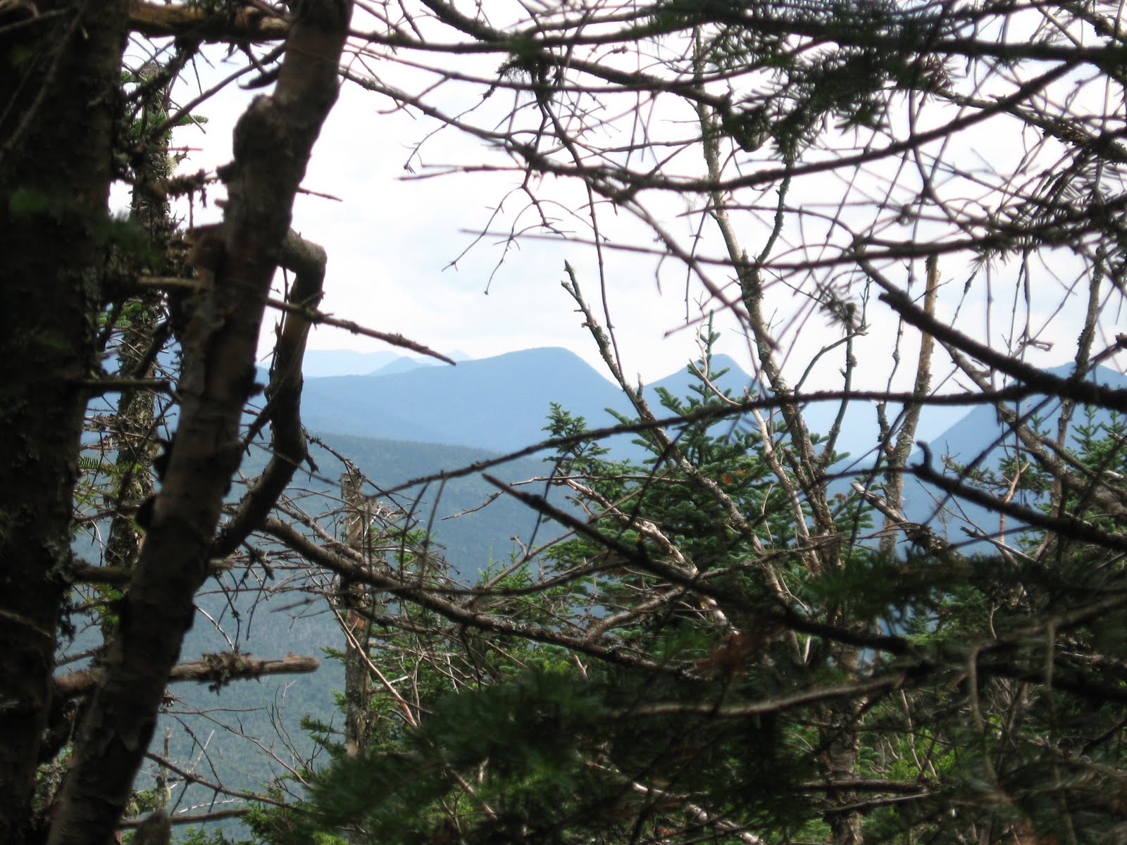
View:  360-degree panoramic view of the White Mountains from the observation deck – partially obstructed by the hoards of tourists that arrive by tram which can limit your enjoyment.  Kinsmans and Franconia Ridge are especially visible from Cannon.
Group:  Mike, Brian and Anai

The numbers for this hike, 5.9 miles and 2350 feet of elevation, do not do it justice.  I’ve been on hikes that were considerably longer and with a lot more elevation that felt much less challenging than Cannon.  But there are definitely some fun sections too that involve a little scrambling. 

The Trailhead near the Lafayette Campground

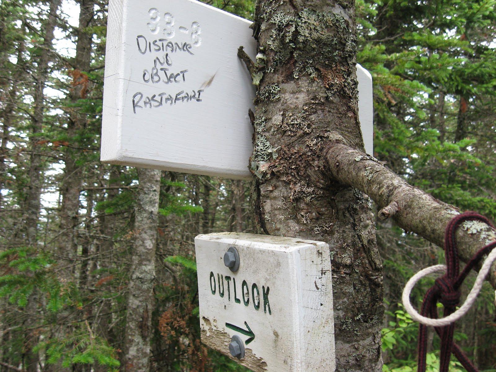
We ended up taking the long way around on the way up.  We intended to hit the Joe Dodge Cut-off from Lonesome Lake but somehow missing it (despite the fact that I got a photo of the sign) and ended up taking the Lonesome Lake Trail and Kinsman Ridge Trail.  We don’t know what the Joe Dodge Cut-off was like since we missed it both up and down, but the sections we took had some interesting and fun sections to them that involved some scrambling and a ladder climb. 

The elusive Dodge Cut-Off

The hike into Lonesome Lake has a very moderate pitch on a well maintained trail.  This was Anai’s first hike in over a month.  She had been resting after suffering from some tendonitis in her knee.  She took it slow for this section and Brian stuck with her.  I trudged ahead and waiting for them at the lake.  Anai got her legs back along with some confidence and we all hiked together from this lake on. 

The Lonesome Lake Trail continues up from the lake and meets up with the Kinsman Ridge Trail.  Portions of this trail are particularly steep but can be fun since they involve a decent amount of scrambling over boulders and ledge. 

Boulder Hopping

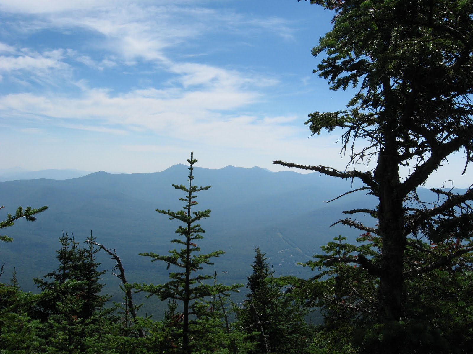
Kinsman Ridge then meets up with the Hi Cannon Trail which is has a fairly easy approach to the summit and overlook to Franconia Ridge. 

Franconia Ridge from near the Cannon summit

The summit of Cannon is more easily attained via the tram that services the ski area in the summer.  I didn’t even know the tram ran in the summer until we reached the observation deck and were surrounded by people who reached the summit via the tram.  There were some who were breathing heavy and sweating profusely from the short hike from the tram house to the observation deck. 

Until Cannon all of the mountains we have climbed have had between zero and ten other hikers at the summit.  Cannon, by contrast, was a legitimate tourist attraction, the Wally World of the White Mountains, creating what Brian termed “The Griswald Effect”.  Don’t hike it expecting peace, tranquility, and great views.  You get only one out of three.  It is the only summit I have been to where you can buy refreshments (with a credit card) and use flush toilets.  So we were surrounded by Griswalds:  crying babies, mouthy teenagers, and other tourist types who looked at us funny, appearing to doubt that anyone would chose to actually hike up the mountain when there was a perfectly good tram to take up.  After taking in the views from the observation deck and buying a chocolate chip cookie in the tram house (hey, it was there so why not) I quickly led us a distance away from Wally World to a place along the trail where we could eat lunch in peace, partly chased away by an incessantly crying toddler.

 Griswalds Enjoy Lunch at the Tram House

We took the Hi-Cannon Trail back to the Lonesome Lake Trail.  It involved some downward scrambling, a decent down a ladder, and some cliffs with views of Lonesome Lake. 

Lonesome Lake from the Hi-Cannon Trail.  The Lonesome Lake Hut is also visible.

The hike up had some good parts but the tourist trap feeling at the top made this one of my least favorite hikes.  

Tuesday, August 10, 2010

North Hancock (4420 ft) and South Hancock (4319 ft) - August 1, 2010

Weather:  Moderate summer temps, mostly sunny, low humidity.

Trail:  Hancock Notch Trail, Cedar Brook Trail, Hancock Loop Trail.  9.8 Miles, 2700 feet elevation gain.
Trail Conditions:  Well maintained AMC trail.  Notch Trail is mostly old RR bed.  Hancock loop has a steep ascent up north peak.
Views:  From north peak, excellent views to the southwest and west to Franconia Ridge and down into the Pemi Wilderness.
Group:  Mike - solo


Having more or less recovered from my chest cold (cough still lingers) and having done another training hike on Mt. Major last weekend, I decided it was time to get back in the game and I headed for the Kanc’s sharp “S” turn where the trail begins for the Hancocks.  Brian and Anai were in upstate NY on this weekend so I did another hike that was already checked off their list. 

The hike started off a bit cool and I was in the shade.  The temp would increase slightly to be very comfortable in the mid to high 70’s – near perfect hiking weather.  With the exception of some threatening clouds as I climbed Hancock, the weather remained great for the entire hike with no noticeable humidity.  The great weather contributed to this being a great hike (the ascent of the north peak would be grueling in high heat and humidity).

The Hancock Notch Trail starts out on some old railroad bed so it is fairly smooth and the grade is almost unnoticeable.  


The Cedar Brook Trail follows its namesake and has some more interesting terrain – lots of tree roots and rocks.  


There are some open marshy areas where again I was hoping to see a moose, and again I was disappointed. 


This was one of the most isolated trips I’ve been on.  I was hiking by myself and ran into very few people, only seven total and four of them (a family) were during the last mile or so.  There were very few unattended cars at the trailhead when I set out so it was no great surprise.  I saw the first two hikers less than halfway in.  They must have stayed locally and been up early that morning to grab the Hancocks and were already on their way back to the trailhead. 

Where the Hancock Loop Trail splits and you can go to the south or north peak, I sat down to zip off the legs of my convertible pants, grab a snack, and take another look at the map.  As I sat there I noticed that it was very still and quiet.  I was away from the nearest stream, miles from the road, no planes overhead, and no wind.  Beyond the signs showing the split in the trail you can make out the first objective through the trees.


A swift moving man in his 50’s blew through the junction, exchanged a couple quick observations with me, then headed off for the South peak.  We would meet up again crossing the col between the two peaks. 

The trail from the split up to Hancock (north peak) is fairly steep and long.  You go up the mountain parallel to the Arrow Slide which can be seen from the split.  But unlike some of my other “miserable miles” the low humidity and moderate temperatures made this ascent very doable, and the views to the southwest from the outlook on Hancock make it worth the climb. 


The col between the two is listed as 1.5 miles but it didn't seem that long.  Despite the general lack of rain, there were some fairly muddy parts in this col.  The trekking poles sunk in pretty far and the logs that had been laid down in the mud were completely covered in some spots.  You had to test where the log was with your pole before stepping.


At the south peak the views are not quite as satisfying as the north peak, but there were excellent views of Chocorua and the Sandwich Range to the southeast.


Someone decided to make the sudden switch to barefoot hiking atop the south peak (or they decided to start wearing those nice Danners they found on their way to Owl's Head!).

Some trailside philosophy on the south peak.


Descending the south peak you get a great view back over to the north peak and the Arrow slide that runs next to the trail.


In my last mile or so I came upon a family of four.  Dad was filtering some water from the stream while mom, son & daughter were sitting trailside.  Dad seemed happy enough, but the others looked miserable.  Mom barely acknowledged my enthusiastic “Hi!” and the kids didn’t even look up.  I wondered how many more hikes he could convince them to do this year.  

Tuesday, July 27, 2010

Sick Days and Mt. Major - July 24, 2010

The first week of July was a full one for me with 4 hikes and 5 peaks over 9 days.  It may have been a bit too much.  On Osceola I felt like I was coming down with a chest cold.  I stopped at the drug store and got some Zicam and a few days later did Hale with Brian and Anai.  But that following week the cold set in, enough so that I went to the doctor on Thursday who was concerned enough to give me some antibiotics.

In the meantime Anai had also been to the doctor and was diagnosed with a bit of tendonitis in her leg.  So we were both out of commission and Brian was put on ice.  I was feeling good enough by this past Saturday (despite being out of breath doing the five flights of stairs at work) that I agreed to hike Mt. Major with Brian.  Jasper came along again on this one.  Anai was still out of commission.  We did the same loop that I did back in June.  Mt. Major is a good hike to get back in shape.  

No photos this time.  While sick I robbed the camera batteries to put in the TV remote!

I'm not sure what this weekend will bring.  I'm not convinced my lungs are ready to hit the 4000 footers yet and Anai's status is still in question.  But if we hope to make a significant dent in the list this season we will need to get moving.


Mount Hale (4054 ft) – July 11, 2010

Weather:  Warm, Some Humidity, Mostly Clear
Trail:  Hale Brook Trail
Trail Conditions:  This is a well maintained trail without any obstacles or scrambles.  It maintains a very steady incline throughout the 2.3 miles.  
Views:  There are some views of surrounding mountains available in the last third of the hike.  
Group:  Mike, Brian, Anai


We had slightly more ambitious plans for this day, but after Owl’s Head last weekend, my three peaks during the week, the threat of thunderstorms, the onset of a chest cold for me, and other issues that kept us from hitting the trail early, we decided to pick the shortest of the 4000 foot hikes, Mt. Hale. 

This might be another short post.  The Hale Brook Trail is a mere 2.3 miles from Zealand Road to the summit and gains 2300 feet of elevation.  Not too long, not too steep.  The weather was less muggy than three days ago on Osceola and much clearer.  The “chance” of thunderstorms never materialized.  It was a tough hike for Anai.  I don’t think I mentioned it in my Owl’s Head post that she lost her boots toward the end of that hike.  I know – you’re asking yourself - how does someone lose their boots on a hike?  When we did the last stream crossing on the Liberty Brook Trail Anai decided to keep her Keens on for the rest of the hike.  The boots never made it into her backpack.  So if you are hiking the Liberty Brook trail and come across a pair of women’s Danners in a bag next to the stream, shoot me a note!  She sure would like them back.  Anai was hiking Hale in new leather Zamberlans that had been sitting in her closet for a while.  They were so new and so leathery you could hear them squeak.  This was another reason for choosing a shorter hike. 

We came across a giant paper birch tree in the first few hundred yards of our hike.  I have remarked before in my posts about the size of some of the paper birches I have seen in the whites and how you just don’t see them that big in Southern NH.  But this one might take the prize.  We took this photo of Brian completely eclipsed by the birch. 


Big Birch

It was pretty uneventful to the top, a bit hot, just a bit muggy.  At the top there is a very large rock cairn and the remnants of a fire tower.  Views can only be achieved by standing on top of the rock cairn.  From here it is a short hike to the Zealand Hut. 


A View from the Trail

Mega Cairn at Summit of Hale

Benchmark at Hale Summit

Afterwards we read the trail description a little more closely and learned that the large pile of rocks that create the cairn at the top of Hale can play tricks with your compass.  We didn’t know enough at the time to test this out. 


I'm not sure we deserved it but we did stop at the Mad River Tavern on the way back, in part to celebrate Brian's birthday.  He got the carrot cake he had been waiting for.  

Brian has suggested I start a list of “Mike’s Miserable Miles”, a list of the most miserable one-mile stretches we have climbed in the Whites.  So far I really only have a few:  The Flume slide trail (burned in my memory – I was 12 or 13 and was wearing Wolverine Survivors), The Owl’s Head slide trail, and the section between Zealand Hut and Zeacliffs.  The last one barely qualifies but you need to have more than two to have a list.  

Saturday, July 10, 2010

Mt Osceola (4340 ft) and East Osceola (4156 ft) – July 8, 2010


Weather:  Warm, Muggy, Cloudy
Trail:  Osceola Trail, Tripoli Road approach
Trail Conditions:  The trail is never very steep heading up Osceola.  The first part of the hike up Osceola is rocky and not great for footing.  The trail improves as you get higher.  The chimney between Osceola and East Osceola requires some concentration but it is fun. 
Views:  Clouds moved in as the hike progressed.  I was able to spot Tecumseh while hiking up Osceola.  No view on the first summit of Osceola.  No view on East Osceola.  The second time I reached the Osceola summit the weather had cleared enough to spot East Osceola.
Group:  Mike – solo


Making good use of a vacation day and attempting to play a little catch up with Brian and Anai, I set out to hike the Osceolas.  I can honestly say the first 45 minutes of this trip was probably the most miserable I have spent in the Whites.  Four main factors contributed to this: 1) the terrain is very rocky and does not allow for good footing, 2) it was very warm and muggy, 3) the bugs were thick - at one point I had four part harmony in my left ear, 4) being the first traveler up the mountain that morning I got tens if not hundreds of spider webs across my face, many landing across my eyelashes.  I was not having a good time. 


Rocky Terrain

The rocks weren’t going away so no matter what the conditions I was going to have to deal with them.  Despite it not being a steep ascent, it was difficult to make good time with the tricky footing.  I was quickly sweating off the bug repellant so for the first time I dug out the head net.  This also helped with the spider webs but it made the heat and mugginess a bit worse.  I kept it on for about twenty minutes and then took it off once I got to a point where the bugs and spider webs weren’t as bad.

The trail improves quite a bit about halfway up with less rocks and better footing.  There is some sloped ledge over good portions but otherwise it is much better. 

Upon reaching the summit I was pretty disappointed that there was nothing to see.  The clouds parted just enough for me to see part of the valley below.  Although I had the summit all to myself, there wasn’t I wasted little time and headed down into the col between the two mountains where I would see my first fellow hiker of the day coming toward me.  After talking with the gentleman for a minute and sharing information on the trails and weather it dawned on me that I was speaking with Steve Smith, owner of the Mountain Wanderer bookstore in Lincoln, editor of the AMC Guide to the White Mountains, and author of the main source I have been using on my 48 – “The 4000-Footers of the White Mountains”.  He said that I looked familiar and I told him that I had been in his bookstore about four weeks ago (see my first post), bought his book and had him sign it.  I shared with him all the summits I had reached since then.  Steve had approached from the Kanc so we would cross paths again in an hour or so.


Mt. Osceola USGS Benchmark

I proceeded down into the col and diverted to the left around the “chimney”, a narrow and nearly vertical chute that is about 15 - 20 feet high.  The summit of East Osceola is treed in, which didn’t matter much on this day because the weather was not cooperating anyway.  I headed back down into the col and this time came up the chimney.  It was challenging but fun.  About five minutes before reaching the summit of Osceola for the second time I saw Steve Smith again.  He said he waited around a little bit for the clouds to part but they never did and he wished me well on my continued journey over the 48. 


The Chimney


Cairn at East Osceola Summit


Upon reaching Osceola again I found it was a little crowded this time.  There was a group of four women resting and eating down on the ledges and a group of about 12 boys and leader from an area camp.  The weather cleared enough so I could finally see East Osceola and get a good view of the area I had just traversed out and back. 


East Osceola as seen from Osceola

After a quick lunch I was ready to start my descent.  It was fairly uneventful, no falls or injuries but slow going with the rocky footing.  The hike lasted about 6 hours.  As I headed down 49 toward 93 it was tough to pass by the Mad River Tavern but it was early in the afternoon; too late for lunch, too early for dinner.  I settled on an ice coffee before hitting the highway.

Gear Notes:

I did both this hike and Tecumseh in my New Balance 966 trail shoes.  They worked well for Tecumseh but may not have been the best choice for the rocky terrain of Osceola.  Boots with a bit more ankle support may have worked out better.  

Wednesday, July 7, 2010

Mount Tecumseh (4003 ft) - July 5, 2010

Weather:  Warm and Sunny.  Hot in the sun. 
Trail:  Mt. Tecumseh Trail
Trail Conditions:  Well maintained trail.  Mostly dry.  No obstructions.  
View:  There are trees at the summit but there is a fairly good, but limited view to the east from ledge just below the summit where you can see the Tripyramids.  Limited views to the North and West through the trees.
Group:  Mike - Solo


I’m on vacation this week and decided to use it to catch up a bit on the peaks that Brian and Anai have already done.  Tecumseh is only an hour from home.  I was on the trail by 8:40AM and back to the Jeep by noon. 

This report is short since there just isn’t that much to talk about.  The Tecumseh summit is 2.5 miles from the trailhead.  The trailhead starts from the far right-hand side of Waterville Valley’s Parking Lot A.  As you come around the right side of the one-way circle the trailhead is on the right (the opposite side of the street from the parking lot).  The trail starts out at a very moderate grade and remains this way for about 0.8 miles before becoming somewhat steeper.  The grade never becomes intense, but remains steady with little change.  About 1/3 of the way up the trail there is a short diversion that takes you to a “view” area on one of the Waterville Valley ski slopes.  It is exposed to the sun and on this day, the beginning of a heat wave in NH, I didn’t linger long before getting back into the shade and continuing upward. 

I reached the summit in 1 hour 20 minutes with only a short break to talk with a mom and two daughters from Connecticut.  Despite being Yankees fans they were decent and friendly folks who were on their 5th 4000 footer of the holiday weekend.  The summit has trees but there are some views east from ledge just below the summit. 


At the summit I met a man who had done “the grid”: all 48 over 4000 in every month of the year.  He had two dogs; the elder had done all 48 a total of 15 times and the younger 3 times.  Also met some folks planning to backpack Owl's Head later in the week and I shared some of our experiences from last weekend.  

After a short snack I started the descent which took just over an hour.  I was off the trail by noon and headed back to the southern part of the state, along with everyone else who was wrapping up their holiday weekend. 

I hope to get one more hike in before being rejoined by Brian and Anai on the weekend.  

Monday, July 5, 2010

Owl's Head (4025 ft) - July 3, 2010

Weather: Warm, sunny and clear.

Trail: Liberty Woods Trail, Franconia Brook Trail, Liberty Brook Trail.

Trail Conditions: First eight miles in conditions are good. Two stream crossings require getting your feet wet. The slide trail is challenging.

Views: No view from the summit. Continuing a few hundred feet down Franconia Ridge Trail from where you are supposed to turn onto Liberty Brook Trail you get a view of South Twin and Bond ridges. From the Owl’s Head slide trail you have views of Franconia Ridge including Mt. Flume, Mt. Liberty, Mt Lincoln and Mt. Lafayette.

Group: Mike, Brian and Anai
Slog. This is the most appropriate word I have heard used to describing this 18 mile hike. It is also exactly how you feel during several portions including much of the slide trail and the last 3 miles of this hike that just doesn’t seem to end. I guess I had my hopes up that a 9-mile trek deep into one of the most remote areas of New Hampshire would be a little more interesting but it didn’t turn out that way.
The hike starts at the Lincoln Woods Visitors Center and Ranger Station 5 miles up Rt 112 from Lincoln. Cross the footbridge, bear right and then walk… and keep walking. The Lincoln Woods Trail is on an old RR bed which makes it about as straight and level as a trail can be. This goes on for over 3 miles. It is the closest thing to walking on a treadmill that I have found while hiking in the whites. Not so bad on the way in when you have a chance to walk effortlessly and chat up people you meet who are also covering this mandatory ground, like John from Toronto who was headed for the Bonds. But on the way out you just want it to be over and the three miles never seems to end. It took us just under an hour to cover this distance on the way in, about 50 minutes on the way out. You cross another footbridge that brings you to the junction of the Franconia Brook Trail off to the left. This trail is also along an old RR bed in many sections but it is a bit more overgrown and deteriorated than the Lincoln Woods Trail RR bed. When we set out on this hike one of the things that interested me the most is that we would be headed deep into the Pemigewasset Wilderness, a very remote place. But it is tough to feel like you are in the “wilderness” when you are walking a RR bed. By the time we reached the Owl’s Head Slide we were 8 miles from the nearest roadway but it just didn’t feel that way.

There is a slight detour around a Beaver Pond toward the last section of the Franconia Brook Trail. Just after the detour we picked up the Liberty Brook Trail on the left, but before we did we walked up the Franconia Brook Trail about 200 feet to see another pond with views of part of Bondcliff reflected in its pool.


The Liberty Brook Trail was a bit more “wilderness” like. This trail follows the Liberty Brook in the valley formed by Franconia Ridge to the west and Owl’s Head to the east. There are four brook crossings on this trail. The first two require getting your feet wet. We all made a shoe change at the first crossing into some aqua socks or similar (Anai had Keen water sandals). We left them on to traverse the 0.2 miles to the next crossing, then changed back into boots. The cold water felt great on the feet.


Eight miles in and we were at the base of the slide trail, marked by a cairn, that would take us 1800 feet to the summit over just 1 mile. After eating a quick lunch we set out over the toughest section of these 18 miles. The slide trail is not fun. Brian referred to it as soul sucking. The trial, I mean trail, winds up a very steep section of loose rock. The rocks can easily be kicked loose by climbers higher up. The slide eventually gives way to an equally steep path, but not before playing some tricks on you. At one point, about halfway up the slide, you come to a place where the slide trail (if you can call it a trail) appears to diverge in two directions. I took the right; Brian and Anai took the left. The right side entered some trees and brush and got narrower and narrower to what is described as a herd path. It was very tight and impossible to traverse without coming out with some scrapes, although the scrawny twenty-something that that I let go by me was having an easier time with it. At times it appeared the path was coming to a dead end but eventually I would find where it continued. Brian and Anai described the left side as a tortuous slog up fist sized rock that easily gave way underfoot, all while being exposed to the grueling sun. I was able to move quicker with somewhat better footing and shade. When we met back up again Brian insisted we take my path on the way out.

The only redeeming factor of the slide trail is the view. From the trail you can see the summits of Flume, Liberty, Lafayette, and Lincoln. They were very impressive.
The slide with loose rock underneath eventually improves but the slope remained very steep with wet soil underfoot. When the top comes, it comes fairly quickly. By the time you start to
notice that the pitch is relenting you come to the top and a small clearing with room for a few people to rest. This is not the summit (new or old). From here we turned to the left and followed a narrow path a few hundred yards to the (old) summit marked by a small verticalsign nailed to a tree. Evidently a few years back some do-goodercouldn’t leave well enough alone and made the determination that there was a slightly higher spot a few hundred yards to the north. The AMC’s 4000 footer club still recognizes the old summit but us being the type of people who want to be true to the task, we continued on to the north in search of the “new” summit. The path is narrow but passable. I have seen some message boards state that you can easily lose the trail but I didn’t find that to be the case. The new summit is marked by cairn with a gnarly root coming out of its base.


After having another bite to eat we set out for the descent of the slide path. This might actually be less fun than the climb up. I fell three times on the loose wet soil on the same path that I had taken up when we split on the ascent, causing my frustration level to get the highest its been so far on the trail. I just wanted to be off that slide. I got easier on the exposed slide where it was dry and I was able to get better footing despite the fact that you would often slide with the rocks. Reaching the bottom, I had never been happier to be off a section of trail and have it behind me.
The brook crossings felt even better on the way out, although I nearly snapped my ankle on the last one. While in the water my foot slipped down between two rocks and my other leg came down on top of it. I was able to wrangle myself loose after dropping my poles.
The last three miles consists of extremely straight flat RR bed that goes on and on and on. It is not physically challenging. It is just a very boring walk after already traversing 15 miles that day. There was a constant sense of Déjà vu as we could see same scenery in front of us for a few hundred yards that remained constant no matter how fast we walked or tried to put distance behind us. It gives the feeling that while you might be walking you’re just not getting anywhere. The long flat walk at the beginning of our Zealand hike from Zealand Rd is much more interesting and scenic.
Making a departure from the usual post hike meal plan, we tied on the feedbag at the Woodstock Inn for a Prime Rib dinner. It had to be done.
I’ve heard that a large portion of those seeking the 48 peaks leave Owl’s Head for last due to the distance, the uninviting slide trail and the lack of a view. Seems anti-climatic to me. I have not yet figured out which one I will save until last but I hope to make it a pleasurable hike with a satisfying view. I am glad to have Owl’s Head in the bag.