Thursday, August 12, 2010

Cannon Mountain (4100 ft) - August 8, 2010


Weather:  Partly cloudy.  Threatening clouds appeared in the afternoon but never produced rain.  Low humidity.
Trail:  Way up: Lonesome Lake Trail to Kinsman Ridge Trail.  Way Down:  Hi Cannon Trail back to Lonesome Lake Trail.  5.9 miles.  Trail is more challenging than the numbers suggest. 
Trail Conditions:  The conditions were good overall.  Kinsman Ridge section was especially steep with some scrambling.
View:  360-degree panoramic view of the White Mountains from the observation deck – partially obstructed by the hoards of tourists that arrive by tram which can limit your enjoyment.  Kinsmans and Franconia Ridge are especially visible from Cannon.
Group:  Mike, Brian and Anai

The numbers for this hike, 5.9 miles and 2350 feet of elevation, do not do it justice.  I’ve been on hikes that were considerably longer and with a lot more elevation that felt much less challenging than Cannon.  But there are definitely some fun sections too that involve a little scrambling. 

The Trailhead near the Lafayette Campground

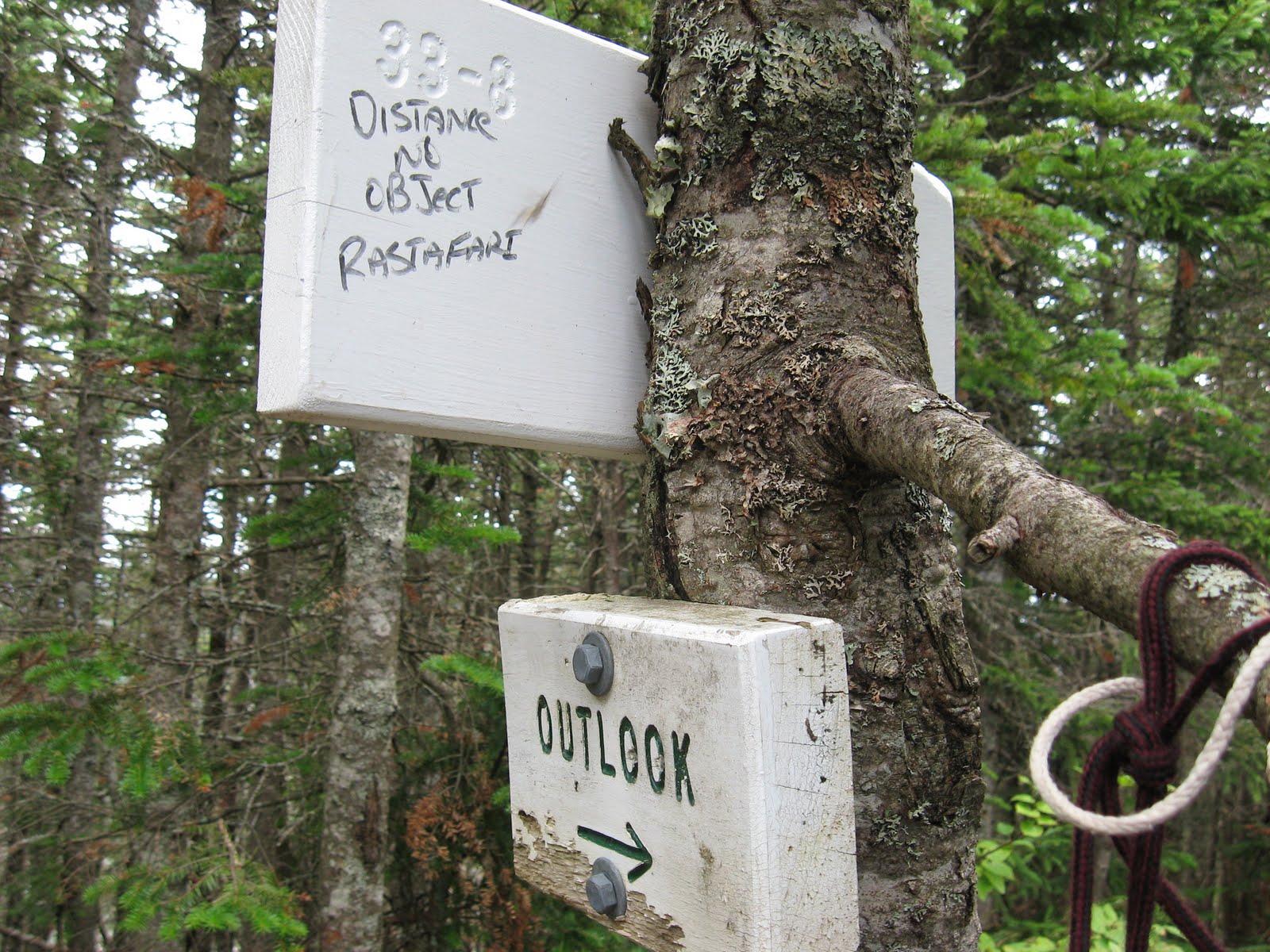
We ended up taking the long way around on the way up.  We intended to hit the Joe Dodge Cut-off from Lonesome Lake but somehow missing it (despite the fact that I got a photo of the sign) and ended up taking the Lonesome Lake Trail and Kinsman Ridge Trail.  We don’t know what the Joe Dodge Cut-off was like since we missed it both up and down, but the sections we took had some interesting and fun sections to them that involved some scrambling and a ladder climb. 

The elusive Dodge Cut-Off

The hike into Lonesome Lake has a very moderate pitch on a well maintained trail.  This was Anai’s first hike in over a month.  She had been resting after suffering from some tendonitis in her knee.  She took it slow for this section and Brian stuck with her.  I trudged ahead and waiting for them at the lake.  Anai got her legs back along with some confidence and we all hiked together from this lake on. 

The Lonesome Lake Trail continues up from the lake and meets up with the Kinsman Ridge Trail.  Portions of this trail are particularly steep but can be fun since they involve a decent amount of scrambling over boulders and ledge. 

Boulder Hopping

Kinsman Ridge then meets up with the Hi Cannon Trail which is has a fairly easy approach to the summit and overlook to Franconia Ridge. 

Franconia Ridge from near the Cannon summit

The summit of Cannon is more easily attained via the tram that services the ski area in the summer.  I didn’t even know the tram ran in the summer until we reached the observation deck and were surrounded by people who reached the summit via the tram.  There were some who were breathing heavy and sweating profusely from the short hike from the tram house to the observation deck. 

Until Cannon all of the mountains we have climbed have had between zero and ten other hikers at the summit.  Cannon, by contrast, was a legitimate tourist attraction, the Wally World of the White Mountains, creating what Brian termed “The Griswald Effect”.  Don’t hike it expecting peace, tranquility, and great views.  You get only one out of three.  It is the only summit I have been to where you can buy refreshments (with a credit card) and use flush toilets.  So we were surrounded by Griswalds:  crying babies, mouthy teenagers, and other tourist types who looked at us funny, appearing to doubt that anyone would chose to actually hike up the mountain when there was a perfectly good tram to take up.  After taking in the views from the observation deck and buying a chocolate chip cookie in the tram house (hey, it was there so why not) I quickly led us a distance away from Wally World to a place along the trail where we could eat lunch in peace, partly chased away by an incessantly crying toddler.

 Griswalds Enjoy Lunch at the Tram House

We took the Hi-Cannon Trail back to the Lonesome Lake Trail.  It involved some downward scrambling, a decent down a ladder, and some cliffs with views of Lonesome Lake. 

Lonesome Lake from the Hi-Cannon Trail.  The Lonesome Lake Hut is also visible.

The hike up had some good parts but the tourist trap feeling at the top made this one of my least favorite hikes.  

Tuesday, August 10, 2010

North Hancock (4420 ft) and South Hancock (4319 ft) - August 1, 2010

Weather:  Moderate summer temps, mostly sunny, low humidity.

Trail:  Hancock Notch Trail, Cedar Brook Trail, Hancock Loop Trail.  9.8 Miles, 2700 feet elevation gain.
Trail Conditions:  Well maintained AMC trail.  Notch Trail is mostly old RR bed.  Hancock loop has a steep ascent up north peak.
Views:  From north peak, excellent views to the southwest and west to Franconia Ridge and down into the Pemi Wilderness.
Group:  Mike - solo


Having more or less recovered from my chest cold (cough still lingers) and having done another training hike on Mt. Major last weekend, I decided it was time to get back in the game and I headed for the Kanc’s sharp “S” turn where the trail begins for the Hancocks.  Brian and Anai were in upstate NY on this weekend so I did another hike that was already checked off their list. 

The hike started off a bit cool and I was in the shade.  The temp would increase slightly to be very comfortable in the mid to high 70’s – near perfect hiking weather.  With the exception of some threatening clouds as I climbed Hancock, the weather remained great for the entire hike with no noticeable humidity.  The great weather contributed to this being a great hike (the ascent of the north peak would be grueling in high heat and humidity).

The Hancock Notch Trail starts out on some old railroad bed so it is fairly smooth and the grade is almost unnoticeable.  


The Cedar Brook Trail follows its namesake and has some more interesting terrain – lots of tree roots and rocks.  


There are some open marshy areas where again I was hoping to see a moose, and again I was disappointed. 


This was one of the most isolated trips I’ve been on.  I was hiking by myself and ran into very few people, only seven total and four of them (a family) were during the last mile or so.  There were very few unattended cars at the trailhead when I set out so it was no great surprise.  I saw the first two hikers less than halfway in.  They must have stayed locally and been up early that morning to grab the Hancocks and were already on their way back to the trailhead. 

Where the Hancock Loop Trail splits and you can go to the south or north peak, I sat down to zip off the legs of my convertible pants, grab a snack, and take another look at the map.  As I sat there I noticed that it was very still and quiet.  I was away from the nearest stream, miles from the road, no planes overhead, and no wind.  Beyond the signs showing the split in the trail you can make out the first objective through the trees.


A swift moving man in his 50’s blew through the junction, exchanged a couple quick observations with me, then headed off for the South peak.  We would meet up again crossing the col between the two peaks. 

The trail from the split up to Hancock (north peak) is fairly steep and long.  You go up the mountain parallel to the Arrow Slide which can be seen from the split.  But unlike some of my other “miserable miles” the low humidity and moderate temperatures made this ascent very doable, and the views to the southwest from the outlook on Hancock make it worth the climb. 


The col between the two is listed as 1.5 miles but it didn't seem that long.  Despite the general lack of rain, there were some fairly muddy parts in this col.  The trekking poles sunk in pretty far and the logs that had been laid down in the mud were completely covered in some spots.  You had to test where the log was with your pole before stepping.


At the south peak the views are not quite as satisfying as the north peak, but there were excellent views of Chocorua and the Sandwich Range to the southeast.


Someone decided to make the sudden switch to barefoot hiking atop the south peak (or they decided to start wearing those nice Danners they found on their way to Owl's Head!).

Some trailside philosophy on the south peak.


Descending the south peak you get a great view back over to the north peak and the Arrow slide that runs next to the trail.


In my last mile or so I came upon a family of four.  Dad was filtering some water from the stream while mom, son & daughter were sitting trailside.  Dad seemed happy enough, but the others looked miserable.  Mom barely acknowledged my enthusiastic “Hi!” and the kids didn’t even look up.  I wondered how many more hikes he could convince them to do this year.