Trail: Hale Brook Trail
Trail Conditions: This is a well maintained trail without any obstacles or scrambles. It maintains a very steady incline throughout the 2.3 miles.
Views: There are some views of surrounding mountains available in the last third of the hike.
Group: Mike, Brian, Anai

We had slightly more ambitious plans for this day, but after Owl’s Head last weekend, my three peaks during the week, the threat of thunderstorms, the onset of a chest cold for me, and other issues that kept us from hitting the trail early, we decided to pick the shortest of the 4000 foot hikes, Mt. Hale.
This might be another short post. The Hale Brook Trail is a mere 2.3 miles from Zealand Road to the summit and gains 2300 feet of elevation. Not too long, not too steep. The weather was less muggy than three days ago on Osceola and much clearer. The “chance” of thunderstorms never materialized. It was a tough hike for Anai. I don’t think I mentioned it in my Owl’s Head post that she lost her boots toward the end of that hike. I know – you’re asking yourself - how does someone lose their boots on a hike? When we did the last stream crossing on the Liberty Brook Trail Anai decided to keep her Keens on for the rest of the hike. The boots never made it into her backpack. So if you are hiking the Liberty Brook trail and come across a pair of women’s Danners in a bag next to the stream, shoot me a note! She sure would like them back. Anai was hiking Hale in new leather Zamberlans that had been sitting in her closet for a while. They were so new and so leathery you could hear them squeak. This was another reason for choosing a shorter hike.
We came across a giant paper birch tree in the first few hundred yards of our hike. I have remarked before in my posts about the size of some of the paper birches I have seen in the whites and how you just don’t see them that big in Southern NH. But this one might take the prize. We took this photo of Brian completely eclipsed by the birch.


Big Birch
It was pretty uneventful to the top, a bit hot, just a bit muggy. At the top there is a very large rock cairn and the remnants of a fire tower. Views can only be achieved by standing on top of the rock cairn. From here it is a short hike to the Zealand Hut.

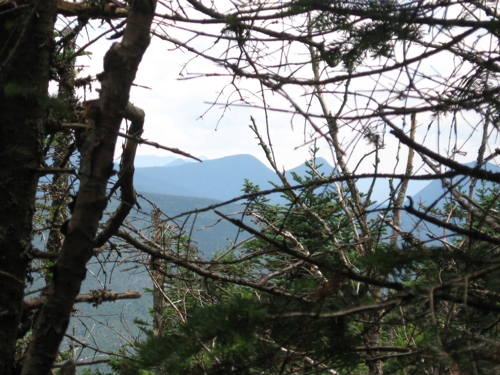
A View from the Trail

Mega Cairn at Summit of Hale

Benchmark at Hale Summit
Afterwards we read the trail description a little more closely and learned that the large pile of rocks that create the cairn at the top of Hale can play tricks with your compass. We didn’t know enough at the time to test this out.
I'm not sure we deserved it but we did stop at the Mad River Tavern on the way back, in part to celebrate Brian's birthday. He got the carrot cake he had been waiting for.
I'm not sure we deserved it but we did stop at the Mad River Tavern on the way back, in part to celebrate Brian's birthday. He got the carrot cake he had been waiting for.
Brian has suggested I start a list of “Mike’s Miserable Miles”, a list of the most miserable one-mile stretches we have climbed in the Whites. So far I really only have a few: The Flume slide trail (burned in my memory – I was 12 or 13 and was wearing Wolverine Survivors), The Owl’s Head slide trail, and the section between Zealand Hut and Zeacliffs. The last one barely qualifies but you need to have more than two to have a list.

No comments:
Post a Comment